Inland Pack Track
An overnight backing trip encompassing temperate rainforest, dramatic limestone gorges and stunning caves. Designed for those who have less time, or the perfect add on to your Paparoa Track Guided Walk.
From $599
Our all-inclusive trip includes
Transport to the beginning of the track.
All camping equipment including lightweight 1 or 2 person tent and sleeping mat.
All meals throughout the duration of the trip, made from fresh ingredients and carried by your guide.
Complimentary use of lightweight down sleeping bag, 40L backpack, and carbon fiber hiking poles.
The company of a local, knowledgeable and qualified guide.
Day 1 - Greymouth to Ballroom Overhang
Level of difficulty - Moderate
13km (8 miles), 5-6hr
Your trip will begin by meeting your guide in Greymouth for a pre departure briefing, and the issuing of any rental equipment. You’ll then take a stunning 45 minute drive along the Coast Road to Punakaiki, before heading inland to the end of the Bullock Creek Road to begin your journey.
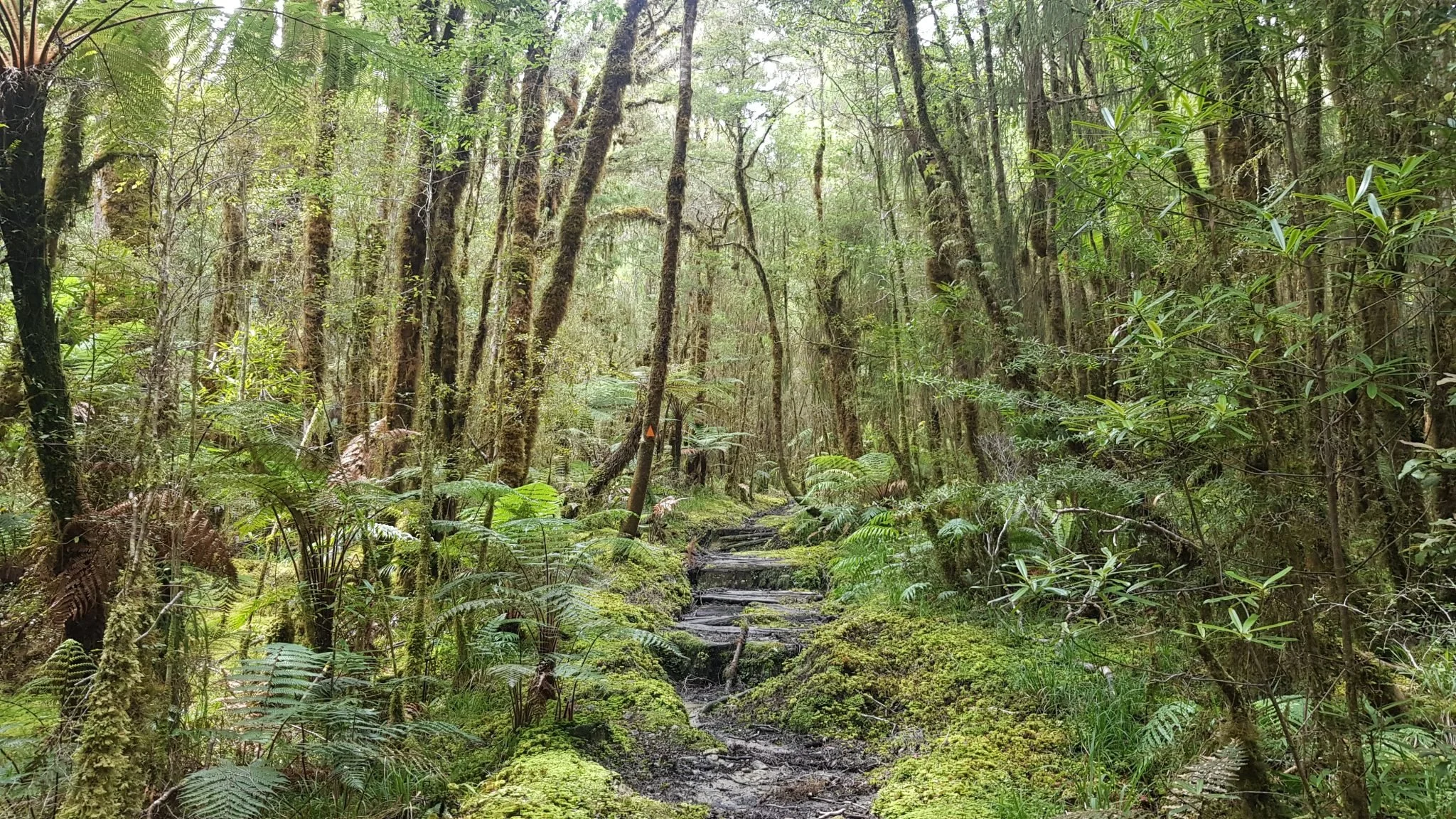
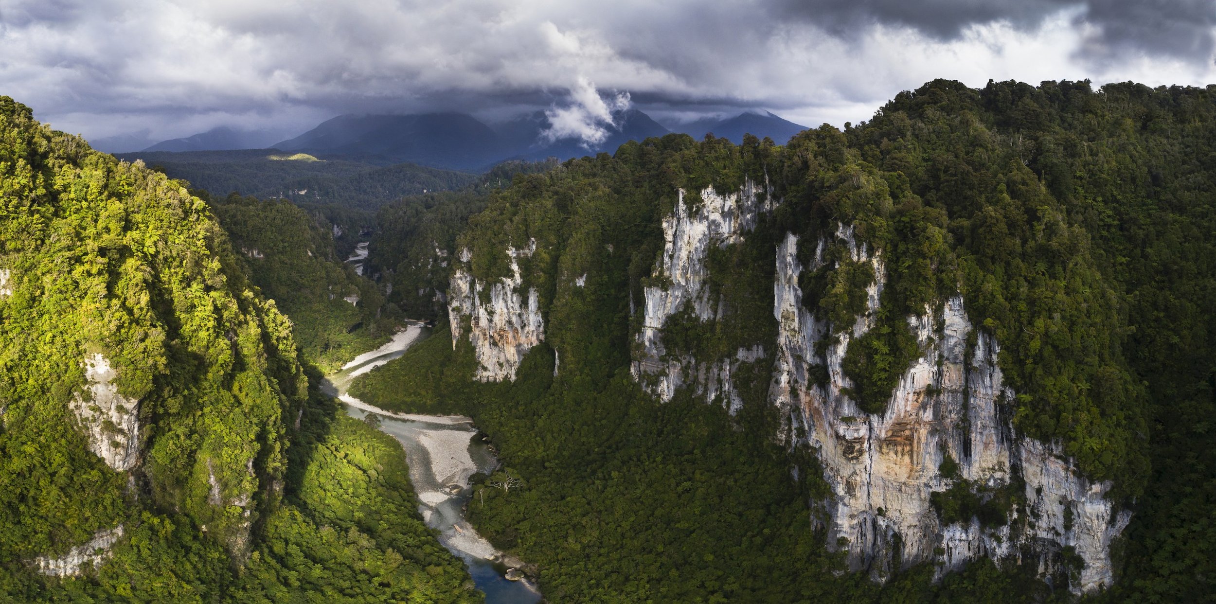
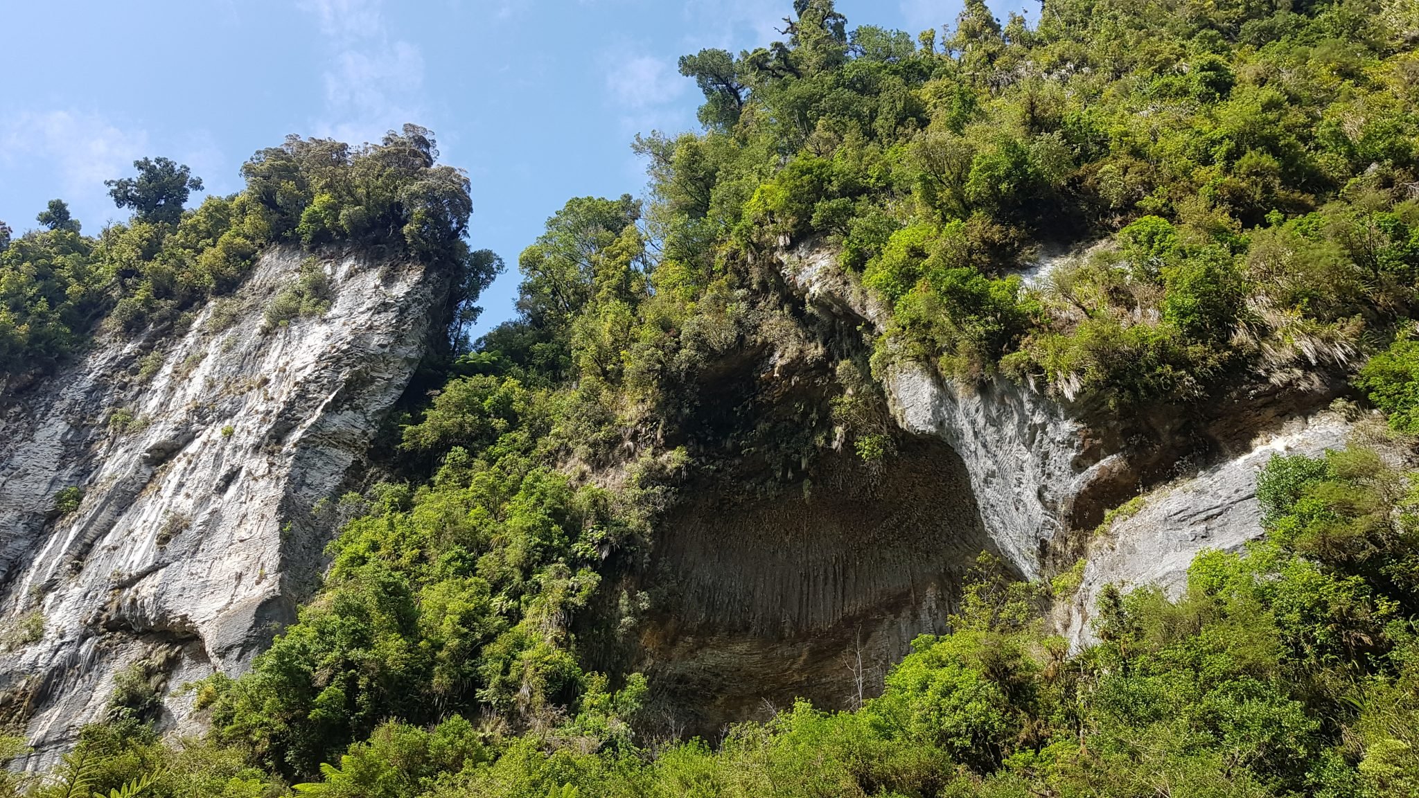
The 13km journey passes through temperate rain forest, multiple small rivers/creeks and precipitous limestone gorges that brings you into the heart of some of the most impressive canyons in the country. We’ll stay the night at the Ballroom Overhang, New Zealand’s largest rock bivvy.
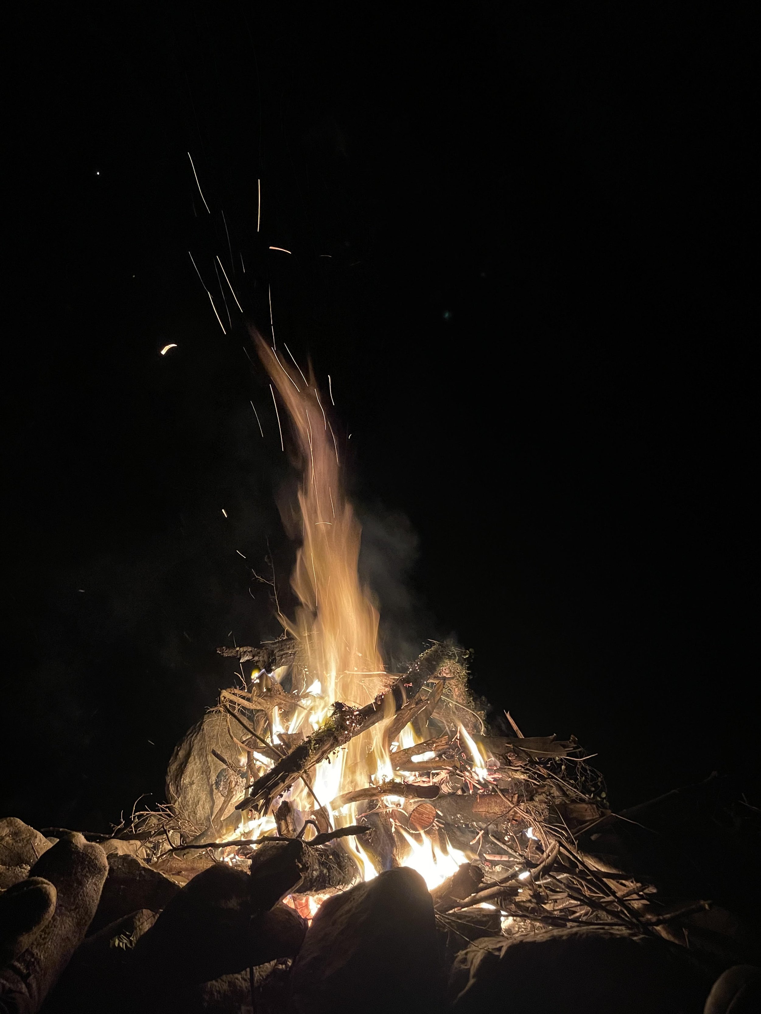
The overhang is an awe-inspiring natural feature that is 10m at its highest point, 100m long, and 30m at its widest point. Cooking over an open campfire and camping underneath is an experience you’ll never forget.
Day 2 - Ballroom Overhang to Fox River Mouth
Level of difficulty - Easy
6km (3.7 miles), 2-3hr
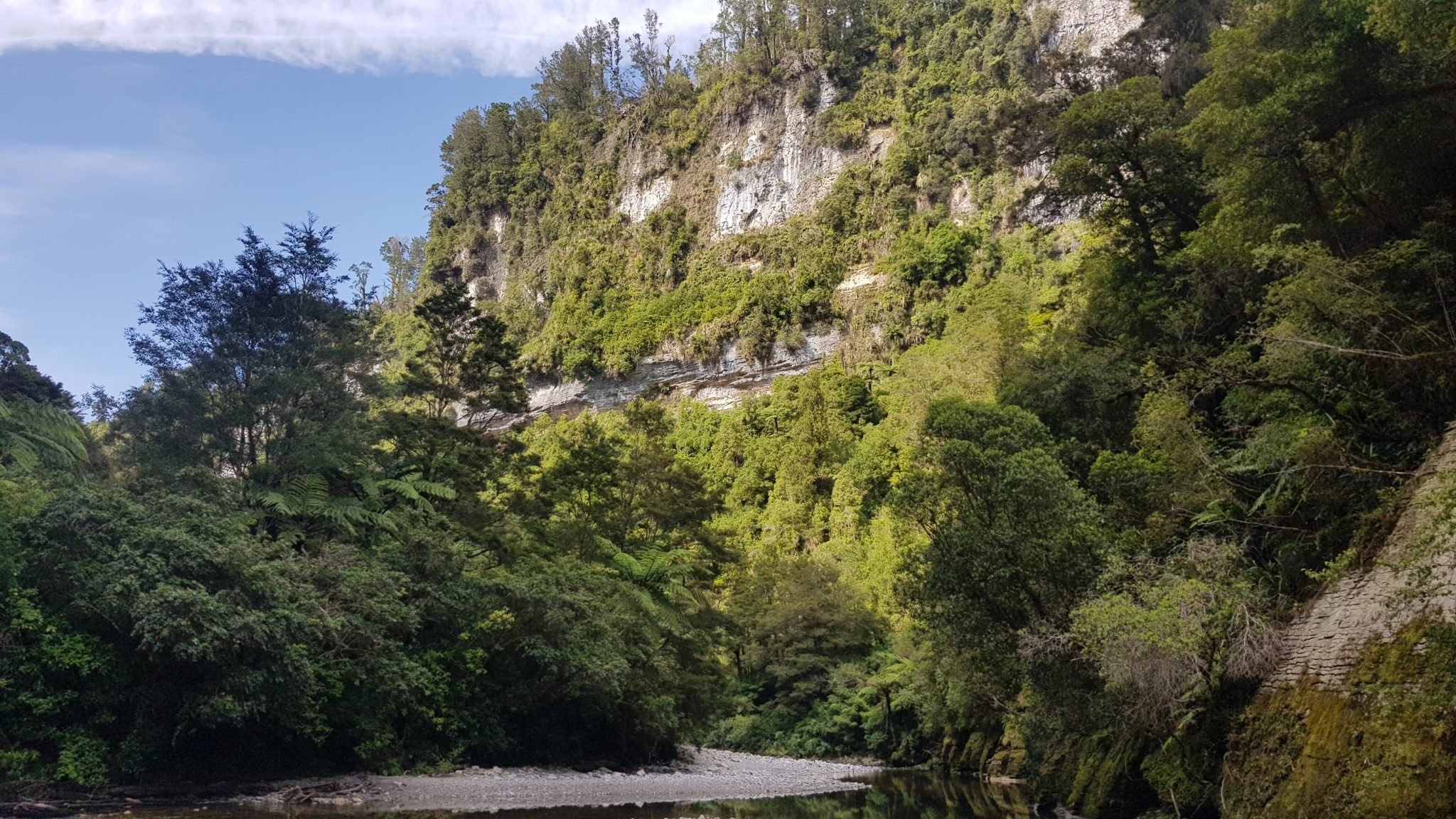
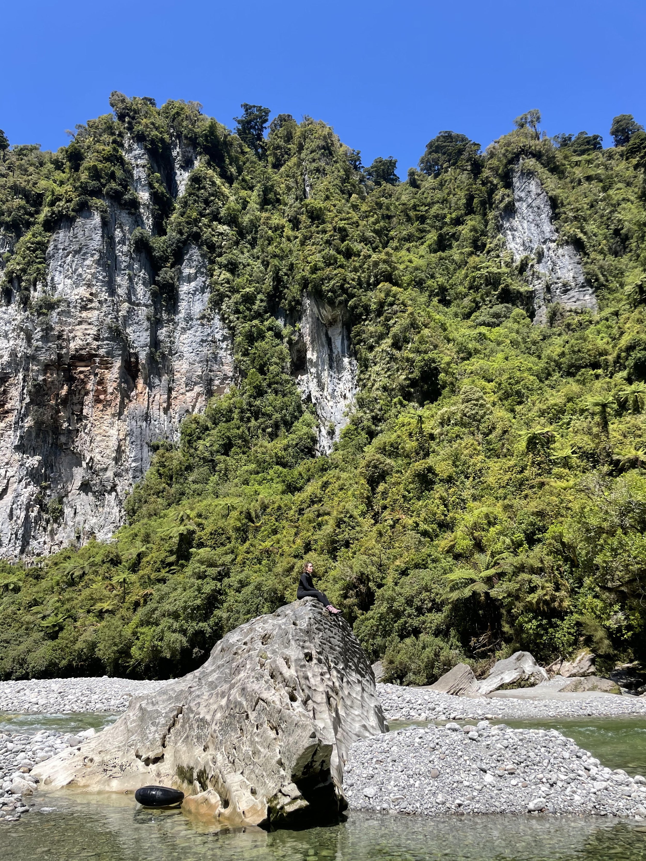
The following morning you’ll depart camp and follow the 6km track crossing the broad but usually gentle Fox River before heading down the delightfully secluded limestone canyon out to the coast. There are approximately 5 river crossings, your guide will always be close by to cover river crossing techniques and to assure those who are less confident. You can truly appreciate the limestone landscape while hiking this section of track, and if the weather is warm the occasional deeper fords make for excellent swimming holes. After arriving at the mouth of Potikohua/Fox River you’ll be driven down the spectacular Coast Road back to our base in Greymouth.







Inland Pack Track
An overnight backpacking trip through West Coast karst country, offering towering limestone valleys, lush rainforest and a glimpse into the historical past of the region.
The Inland Pack Track is a significant historical route that reflects the region's exploration, settlement, and economic development, particularly during the gold rush era. The track used to connect various settlements and served as a crucial transportation route through a rugged and often remote landscape.
Built in January 1864 in response to the opening up of the goldfields, the Nelson Provincial Council arranged for the construction of the track to mitigate the risks of traveling along the cliffs and headlands between Fox River and the Punakaiki River, where many miners died as a result of falls or drowning.
Before European exploration, the region was inhabited by Māori, particularly Ngāi Tahu. They utilized the rich resources of the area, engaging in fishing, hunting, and gathering. Māori had established extensive knowledge of the land, including trails and routes that facilitated trade and communication between different iwi (tribes). This knowledge would later inform European explorers and settlers navigating the challenging terrain.
The track runs through rivers, gorges, forests, and plains, starting at Punakaiki or Bullock Creek to the south and Fox River in the north. The track was never popular with the miners as it involved many river crossings and boulder valley floors that proved time-consuming for the laden ponies. The track was in use for several years, but it fell into disrepair and was not maintained until it was rediscovered in the 1980s.
Today, the Inland Pack Track is a popular hiking route, attracting outdoor enthusiasts who wish to explore its scenic beauty and historical significance. It offers a glimpse into the past while providing opportunities for recreation in the stunning natural environment of the West Coast.
The track serves as a reminder of the resilience and adaptability of early settlers and their interactions with Māori. It embodies the story of exploration, settlement, and the complex relationships that shaped the West Coast region.
Geology
Limestone formations on the West Coast were primarily formed during the Oligocene and Miocene periods, approximately 5–37 million years ago, when the climate was warmer and much of New Zealand was submerged under shallow seas. It is these limestone formations which dominate the landscape of the Inland Pack Track.
The properties of these limestones led New Zealand geologists to propose that their origins were different from those formed in shallow tropical waters, as they were formed at much deeper levels and are dominated by the calcite mineral form. The limestone deposits were created as a result of the accumulation and subsequent hardening of the shells and bones of marine organisms on the seafloor, due to minimal sediment from land entering the coastal waters.
